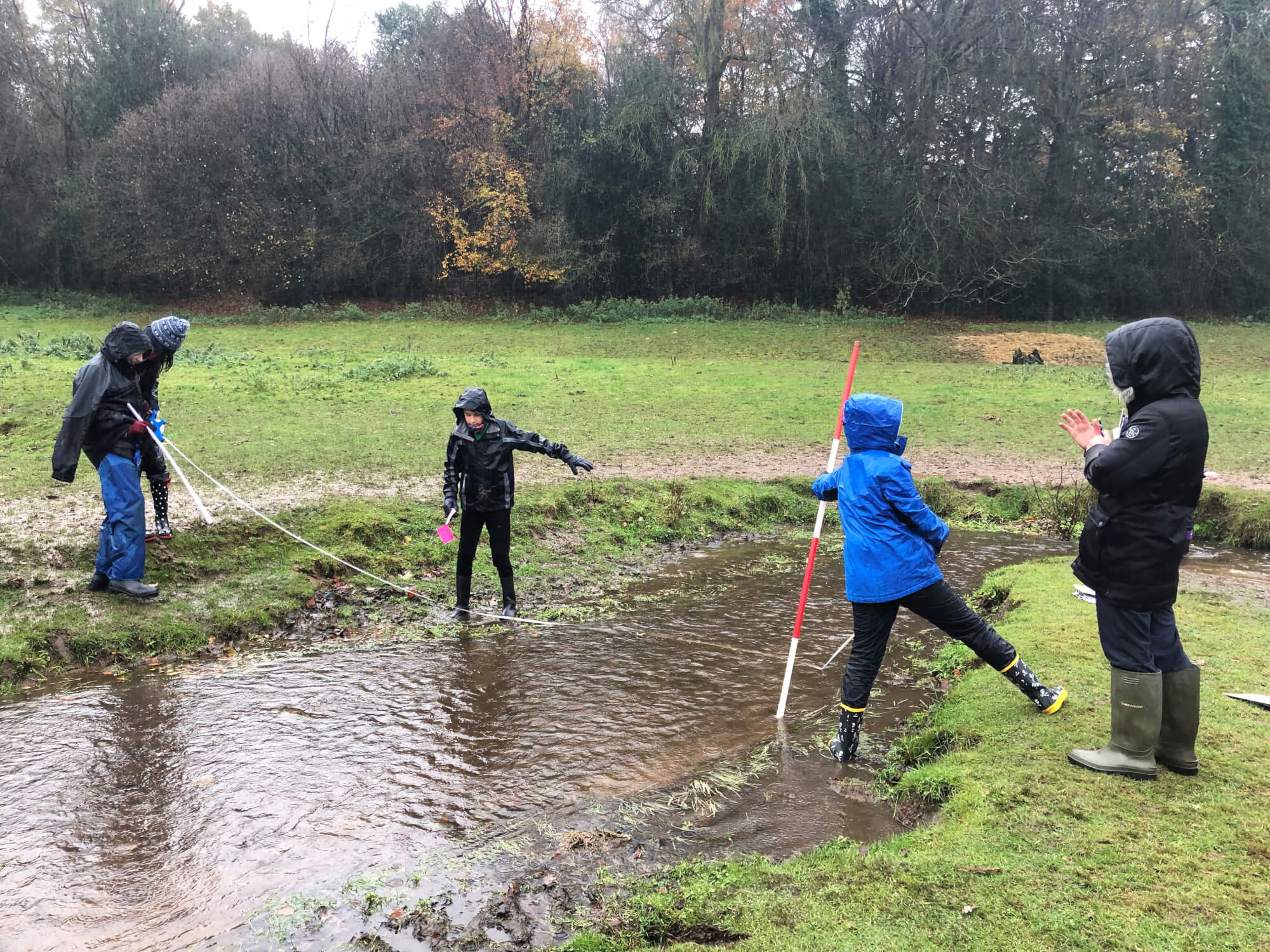
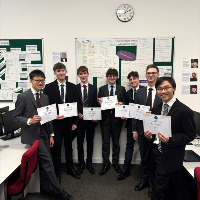
Lower Fourth pupils visited Juniper Hall this week and examined the River Tillingbourne as part of their Geography studies. The year group demonstrated great resilience in the miserable, wet weather, approaching the task with enthusiasm and gusto.
Layers, hats and gloves were the order of the day as they measured aspects of the River Tillingbourne at two different sites in order to see the changes downstream in real life, a topic that ties in neatly with their classroom study.
Pupils measured the width, depth and velocity of the river. The width was measured with a tape measure; two people stood at either side of the river and used the tape measure to record the distance. The depth was measured with a metre ruler; one person stood in the middle of the river and placed the metre ruler carefully in the ground. The velocity was measured using a cork with a stopwatch; two people measured out two metres, then the cork was dropped at the start of the two metres and timed how long it took to reach the end of the tape measure.


