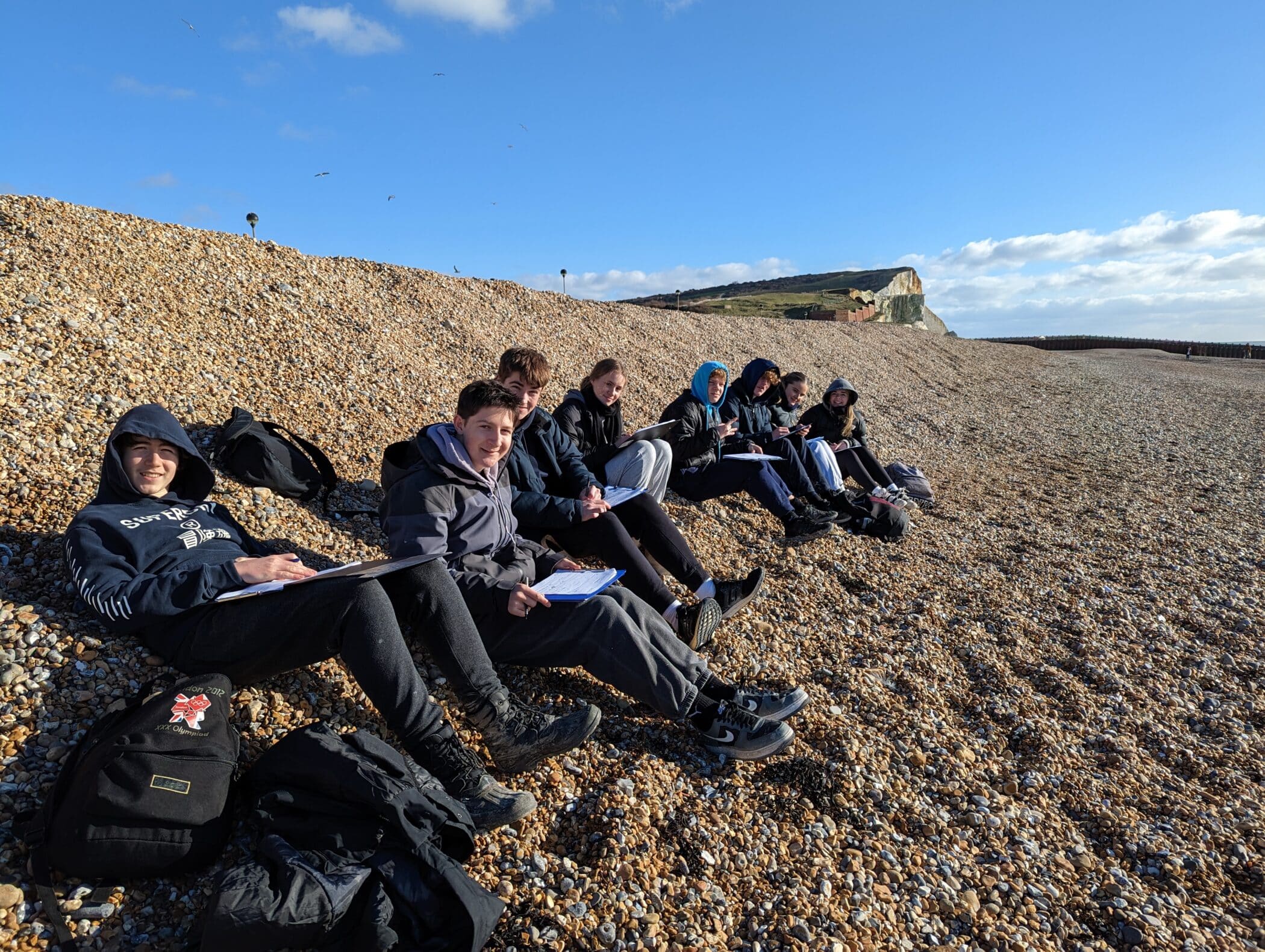
As part of the Geography A-level curriculum, students get to enjoy days out to trial various fieldwork techniques. On a recent trip to Seaford beach, students had the opportunity to trial techniques including beach profiling, sediment analysis and field sketches. The weather was good, providing the perfect conditions for the students to work hard and refine their fieldwork skills.
Beach profiling involved measuring the slope of the beach and collecting data on the different sediment types present. This information was used to create a profile of the beach, which is a valuable tool for understanding the dynamic nature of the shoreline and how it changes over time. The students will use ArcGIS in the classroom to analyse the data and compare it to historical data.
Sediment analysis allows deeper understanding of the composition of the beach and the processes that shape it. The students collected samples of sediment and used a range of techniques to determine their size, shape and composition. This data will be used in future lessons to understand the impact of human activities, such as coastal development, on the beach ecosystem.
Field sketches were also an important part of the trip, as they allowed the students to practice their observational skills and record their observations in a visual format. They created sketches of the beach and its features, including detailed geological sketches of the surrounding cliffs. These sketches will be used to help the students understand the different landforms present at the beach and how they were formed.
The group worked hard throughout the day, collecting and analysing data and refining their fieldwork skills. They also had a lot of fun and enjoyed the beautiful scenery of Seaford beach and took the opportunity to take a break and relax on the beach, soaking up the sun and appreciating the coastal environment.


